Advanced 3D Urban Modeling & Analytics with Voxel Technology
Voxelmates is an Australian startup specialising in high-resolution voxel modeling for large-scale urban geographic three-dimensional environments:
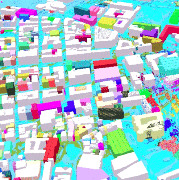
Traditional 3D urban models in GIS and BIM are essential for planning, design, and analysis. They represent diverse environments, from outdoor cityscapes to indoor spaces, including underground infrastructure such as tunnels, pipes, and cables.
Typically, raster and vector-based models struggle to handle continuous spatial phenomena like:
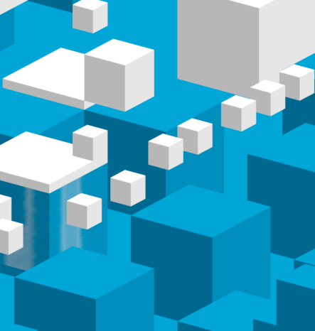
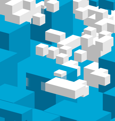
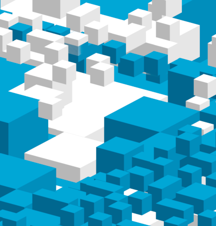
Voxels are volumetric pixels that provide a unified spatial structure that simplifies analysis and enhances data consistency.
Done in the octree, not in memory: Our voxel models are processed using octree-based structure for precise spatial partitioning, enabling efficient handling of very large datasets ideal for 3D urban analysis, visualisation and problem solving.
Multi-Source Integration: Seamless integration of heterogeneous datasets (e.g. LiDAR, photogrammetry, BIM, and GIS)
Efficient Processing: Standardized models for simulating environmental changes and physical properties.
We develop a client-server architecture where voxel models can be generated, stored, analysed, and visualised efficiently.
Our voxel-based solutions have applications in:
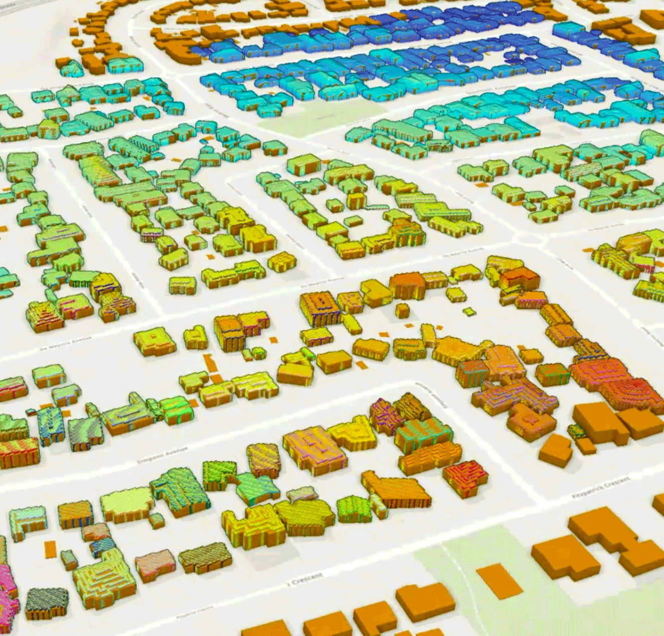
Advanced processing of reality mesh data for enhanced visualization and analysis capabilities in urban environments.
Emergency response planning and simulation using high-resolution voxel models for improved safety outcomes and spatial analysis.
You can watch our demo video below to see how we process large-scale urban datasets into topologically valid voxel models:
For more details, please refer to:
Gorte, B. (2023). Analysis of very large voxel datasets. International Journal of Applied Earth Observation and Geoinformation, 119: 103316. [doi] [pdf]
Gorte, B., Zlatanova, S., Pilouk, M., Diakite, A., & Barton, J. (2024). 3D data integration in the voxel domain. ISPRS Annals of the Photogrammetry, Remote Sensing and Spatial Information Sciences, X-4-2024, 133–140. [doi] [pdf]
Ready to transform your urban modeling projects with advanced voxel technology?
Email: we@voxelmates.com.au
LinkedIn: https://au.linkedin.com/company/voxelmates
Let's discuss how voxel technology can transform your 3D urban modeling projects!